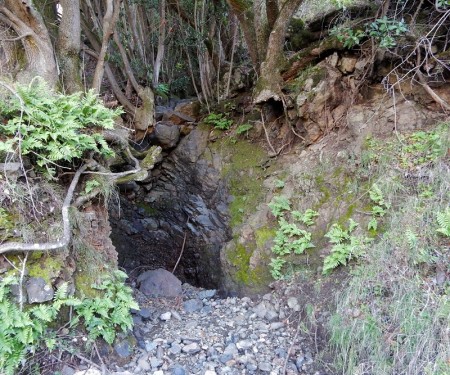
Last week I attempted the Rockridge-to-Orinda ramble by a northern route. Was strenuous, but it got me into Siesta Valley, a place I’ve had my eye on for years, for the first time. At this time of year the sun is so low that the light is terrific.
First came the climb up Tunnel and Caldecott Roads, then through Hiller Highlands up to Grizzly Peak Boulevard, a good 1200 feet higher, then down across the Fish Ranch/Claremont saddle, where it looked like this.
That’s Gudde Ridge, in Sibley Volcanic Preserve, with Round Top on the horizon. The stairsteps in the rock are the huge roadcut for Route 24. Siesta Valley is to my left, over the ridge.
Siesta Valley is watershed land under the control of East Bay MUD, so I made sure to have my hiking permit with me. Not a soul was around, but it’s a good habit. The De Laveaga Trail runs from the top of the valley, at the Scotts Peak Trailhead, along the valley’s north flank. (It’s named for one of Orinda’s founding families — see the comments.) I took the wrong way, going straight down the valley floor on the dirt extension of Wilder Road, which leads to the back side of the Cal Shakespeare center. That meant a steep descent and subsequent climb of a few hundred feet on a pretty wet road, but I saw some bedrock of the Siesta Formation I’d otherwise have missed.
That included this fine chunk of freshwater limestone, all of which fizzed nicely in acid, just like it should.
Once I gained the De Laveaga Trail, the views opened up. The basalt flows of the Moraga Formation crop out well here.
This view looks down the Siesta Valley to its continuation as Wilder Valley, across the freeway in Orinda.
Siesta Valley is very quiet. City noise and freeway noise are kept out by the contours of the land, and on a lazy weekday afternoon I could see myself having a nice nap.
The trail leads up and over the east wall of the valley at about 1500 feet elevation, then it’s a steep 1000-foot plunge down to Orinda. This is the view north. The cattle pond is there because cattle graze these slopes.
The sun sets so early here that it gets cold at night. Shaded puddles stayed ice-covered all that day.
The winter haze obscured the Sierra, but not Mount Diablo and the Lamorinda hills.
As I raced the sunset, downtown Orinda looked inviting. This is a harsh downhill, though. Uphill would be worse, I think. Nothing to do but try it sometime.
The verdict: Siesta Valley is a challenge to reach on foot, but that’s your only choice as vehicles of all kinds are forbidden on EBMUD land. It’s an obscure piece of land that requires a permit, but it’s a gorgeous place. With rocks!


2 January 2017 at 8:25 am
I’ve lived in Moraga and Orinda since moving here from NY as a lad of 13 years old back in 1976 until I went off to college (UC DAVIS and Cal) in 1981. My parents continued to line in Orinda until the late 90’s and that and a girlfriend in Orinda had me skulking around there for a while after too. I’ve since lived in Albany from around 2001. Always explored Tilden, San Palo Reservoir area and Briones plus the Upper San Leandro Reservoir areas widely but this Siesta Valley has always alluded me even as I watched them build the small staging areas many years ago along Camino Pablo across from the Chevron station and the Safeway. Your gorgeous photos have my interest piqued perhaps it’s highest in the 40 years to finally explore this area though now at 53 years old and carrying perhaps 20-30 pounds more than I should be I hesitate some on your description of the hike. Some day (soon!). Thanks for another great post.
2 January 2017 at 11:18 am
I’ve done the trail down and back (albeit on horseback) and it IS brutal coming back up, not least of all because of the wind.
3 January 2017 at 8:34 am
I love the de Laveaga trail (using the spelling of the family for whom it is named — see http://www.lamorindaweekly.com/archive/issue0511/De-Laveaga-Train-Depot-Gets-a-New-Old-Look.html and http://www.lamorindaweekly.com/archive/issue0409/Orindas-History-Preserved-Today-in-Historic-Homes.html ) trail. I have walked a few times from my house on the Rockridge / Berkeley border to the Orinda BART station by way of this trail, and then taken BART back to my house. Thanks for the info on the geology!
[I’m glad I’m not the only nut to do this walk. Many thanks for the links and the name correction; I know almost nothing about Orinda’s history except that it once had its own oil well. — Andrew]
3 January 2017 at 8:56 am
Oh, and I’ve also gone the other direction; starting off with a BART ride to Orinda and then walking back to my house. Either way, it’s a good hike, with some great views such as this view of Mt. Diablo: https://flic.kr/p/v1ATDH .