Mills College occupies a geologically interesting part of town. It owes its stimulating geomorphology to the confluence of three streams under the influence of the Hayward fault. I plan to write several posts about it. Here’s the segment of the geologic map that includes the campus.

The main strand of the fault runs just left of the “Jb” symbol. The narrow lobe of tan, symbolizing Pleistocene alluvium, is where Lion Creek turns from its southward course and cuts across a low ridge of Jurassic basalt (Jb) to cross the fault. I have to say that I haven’t yet found any basalt there, so treat the map with caution. After every large earthquake, whenever and wherever the ground is uplifted the creek, momentarily dammed, gathers its strength and cuts its way through to maintain its right of way. But a flat spot in the streamcourse persists above the fault trace, and there may be a tectonic element at play there too, downdropping the spot in a sag basin. In any case, that wet spot is where the college’s administrators erected a dam to create Lake Aliso, a picturesque basin that was also useful (1) as a water supply for landscaping purposes and (2) for regulating the creek in an attractive state of flow, neither flood nor trickle, as it traverses the campus.
Old photos show the lake as a fine place for boating and pageants, but sediment has inevitably filled it in. Today it’s trying to return to marsh, and from there it aims to retire as a nice meadow.

But we made the lake, and we can maintain it with enough money and machinery. Here’s Lion Creek, such as it was, at the lake’s inlet, which must date from the building of freeways I-580 and Warren.

My visit was a few weeks before the December rains but after November’s whistle-wetting, so the water was cloudy with fresh sediment and possibly some of that ugly runoff from the old sulfur mine. Right now Lion Creek should be closer to roaring.
The other end of the lake is an earthen dam, including this spillway.

It demonstrates one of the basics of managing streams of any size: If you block a stream, it will silt up its bed on the high end and start eroding its bed on the low end. Another way to think of it is that when we mess with a stream, it usually backfires in the long run. The guidance of a licensed geologist with some expertise in hydrology can help forestall the inevitable.
There is some loose rock around, most of it looking like this.

Although they may just be landfill, I assign these stones to the “Jsv” unit—the metamorphosed volcanic rocks that make up the high hills.

31 December 2014 at 7:01 am
There is a trail that runs from the rear of the art museum and the swimming pool. It was the rail bed for the Courtland route.
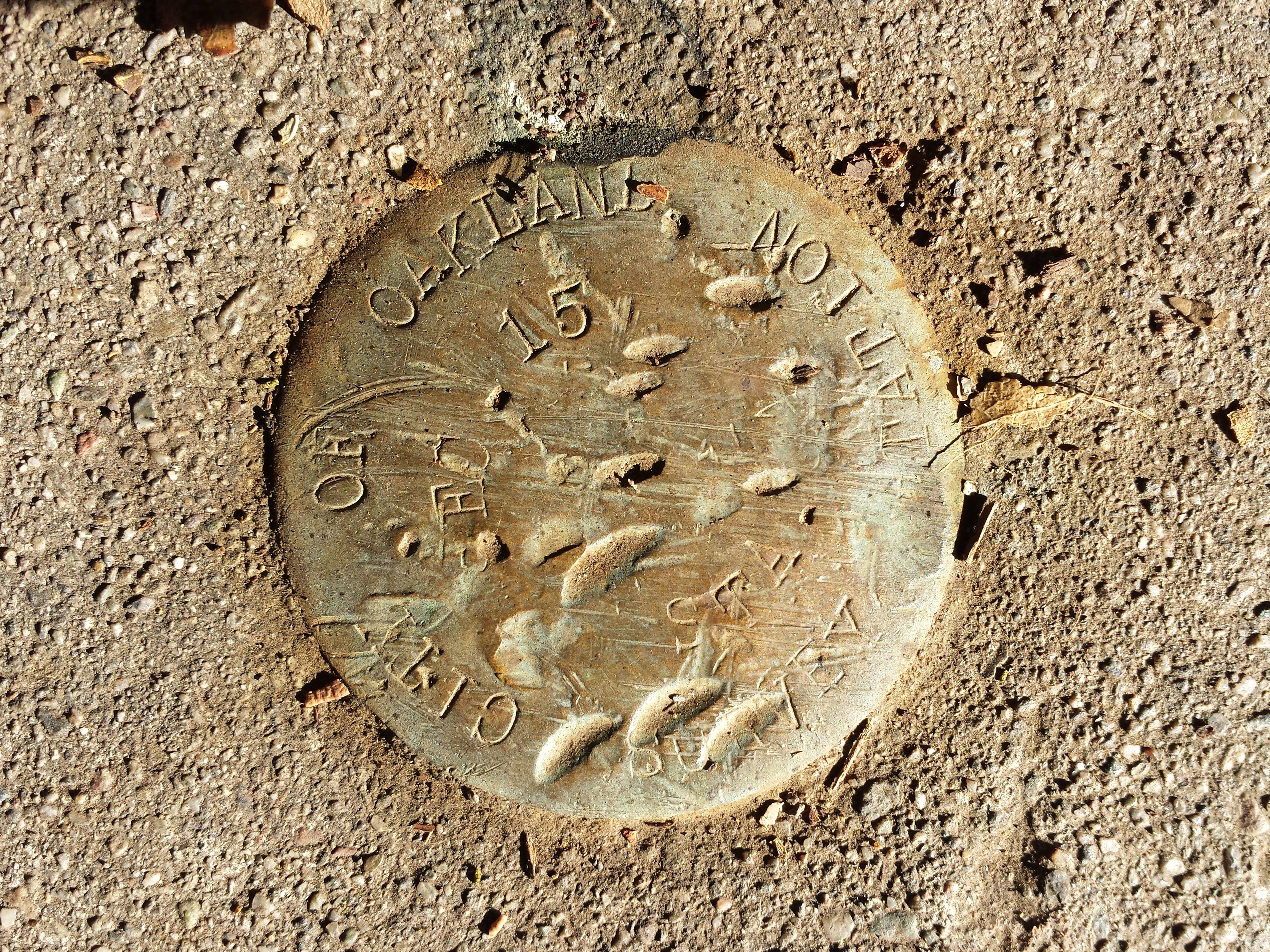
Along the way, you’ll find a bronze survey marker from the city of Oakland. Very near that spot is a solid rock stream bed that is made of some of most pretty rock you’ll see around these parts. If it isn’t a huge chunk of blueschist, then I no longer like blueschist, I like this stuff instead.
If you’re already written about this rather startling feature, then oops. If you have trouble finding the spot, lemme know!
Thanks. Can you explain how this rock is formed (if you have not already done so.), and explain how it ended up here?
I love this micro-area, there are so many things to find!
Erich
31 December 2014 at 1:28 pm
I’ll check it out as soon as I can.
4 January 2015 at 11:00 pm
I know this is somewhat out of the area of your blog, but your mention of the lake silting up reminded me of one in my area, Searsville Lake: http://www.beyondsearsvilledam.org/Beyond_Searsville_Dam/Home.html
26 March 2022 at 11:52 am
I was happy to run across this, as it reminded me of my youth. I lived just a short distance above Lake Aliso – which we always just called ” Green Lake ” – on Kuhnle Ave. My Grandmother had a small seamstress shop on Post Rd. in the college when I was a child, and my mom ( and her sisters ) all worked in various positions at the college.
26 March 2022 at 4:44 pm
Thank you, Chris. That must’ve been nice in the days before the freeways.
20 August 2022 at 9:22 pm
Wow this is such an informative read! I’m a student currently attending Mills College looking into efforts about possible restoration for the lake. It’s been hard to come across information on Lake Aliso so this article was a great find. Thanks!
10 October 2022 at 5:52 pm
We found blackberry bushes around lake Aliso in the ’50s-60s, which we also referred to as Green lake. Thx for your more exacting history &facts. Good luck w your research.
Linda